
Developing flood products for flood disaster service
Donglian Sun, Professor, Geography and Geoinformation Science,received funding for a project in which she aims to demonstrate the capability of Sentinel-3 Sea and Land Surface Temperature Radiometer (SLSTR) data in flood automation with an initial development of a 500-meter SLSTR floodwater fraction product.
For this project, Sun and Sanmei Li, Associate Research Professor, Geography and Geoinformation Science, will develop the SLSTR flood detection algorithm and software based on a framework similar to the satellite-based VIIRS flood extent measurement tool.
The development of the algorithm and software will include three major parts:
- development of the SLSTR projection module;
- development of the SLSTR Flood detection algorithm and software;
- algorithm and software test.
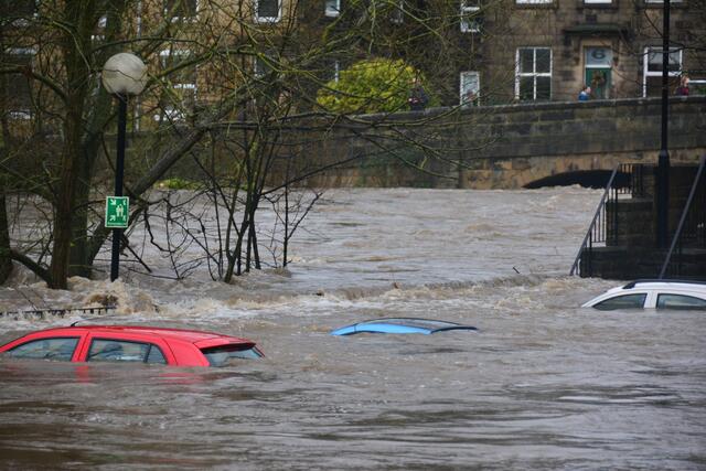
From there, the researchers will apply the developed SLSTR flood mapping software to generate SLSTR 500-meter floodwater fraction maps for demonstration. The researchers will demonstrate flood cases, including the 2021 floods in New Jersey and Louisiana due to Hurricane Ida, to prove the feasibility and capability of SLSTR imagery in flood mapping.
Sun received $50,000 from NASA Goddard Space Flight Center for this research. Funding began in Jan. 2022 and will end in Jan. 2023.