
Mason team uses data to improve weather forecasting and takes top prize in competition
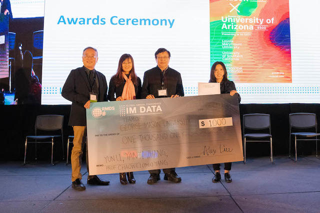
A group of George Mason University students topped a field of more than 100 teams with its model for improving hurricane intensity forecasts to win the 2019 Data Science Competition held by the Research Method and Data Science (RMDS) Lab.
The aim of the month-long competition was to innovate the statistical tropical cyclone intensity forecast model with advanced machine learning techniques.
The Mason student team, which was under the guidance of Chaowei “Phil” Yang, a professor of geographic information science (GIS) within the Department of Geography and Geoinformation Science in the College of Science, took home a $1,000 first prize for its work in developing data and artificial intelligence (AI) solutions to help mitigate risks from natural disasters.
An advisory committee of experts from NASA, IBM, Loyola Marymount University and the Jet Propulsion Laboratory (JPL) selected the Mason team, led by Earth systems and geoinformation sciences PhD candidate Yun Li, as the winner.
“We’re extremely excited that our model was voted as the best one among all the teams,” said Li, who represented the group during their presentation at the RMDS annual conference in Pasadena, California, last month. “It’s such a great honor for the whole team that our work was recognized by experts in the field. We all appreciate Professor Yang’s coaching, and we are so glad that we can contribute to the community with the tropical cyclone rapid intensification prediction model.”
Applications could potentially be used to improve hurricane intensity forecasts that could potentially save lives while reducing economic losses.
Relying on datasets used in tropical cyclone forecast models and satellite observations with spatially and temporally varying features of tropical cyclones, each team created models that might best predict tropical cyclone intensity changes over a 24-hour period. They hoped their research would help residents and decision makers better prepare for extreme weather, reduce economic losses and save lives associated with landfalling hurricanes.
Li is no stranger to such in-depth research, and her familiarity with the subject was obvious, Yang said.
“It’s great, and I’m very satisfied,” said Yang, the director of the National Science Foundation’s Spatiotemporal Innovation Center and the co-director of Mason’s Center of Intelligent Spatial Computing for Water/Energy Science. “I have a lot of students and she’s possibly the best in terms of data mining and spatiotemporal data analytics. This also shows the success of our department on GIS and computing science, a direction ranked top in the nation by our community.”
As a result of her work, Li is considering offers to collaborate with both RMDS and the NASA JPL teams on several other relevant projects.
“I’m very interested in the topic and want to learn more from domain experts and other teams about how to solve the problem with different machine learning methods,” she said.
Topics: Department of Geography and Geoinformation Science, College of Science, data mining